

Latest List of Severely Flooded Areas in Ho Chi Minh City 2026
Every time the rainy season coincides with high tides, flooding in Ho Chi Minh City significantly affects residents’ daily lives and traffic. Although the city authorities have implemented many drainage infrastructure projects, the flooding situation remains complex in many key urban corridors. This article compiles the latest list of flooded locations in Ho Chi Minh City in 2026 and shares practical tips to help you proactively plan safe routes.
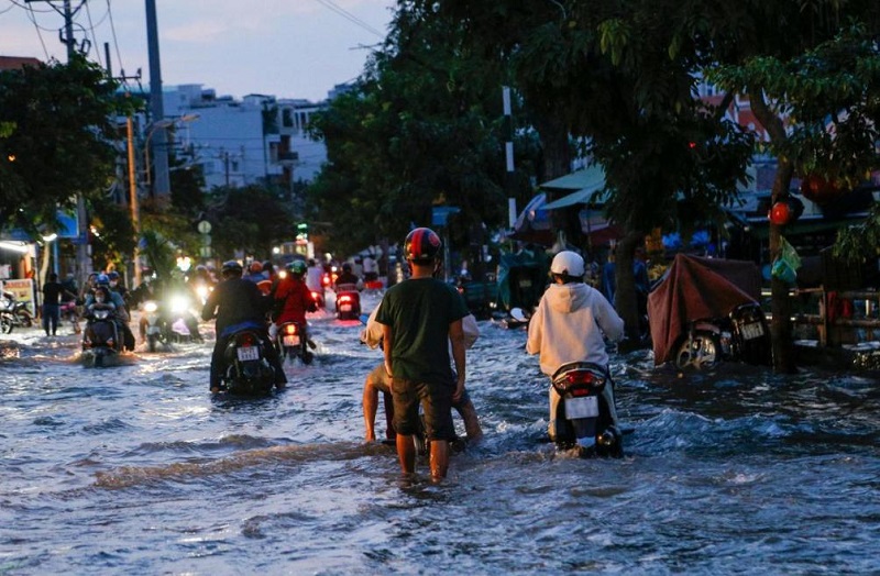
Floodwater during the rainy season causes major difficulties for people in Saigon.
List of Major Flood-Prone Areas in Ho Chi Minh City 2026 by District
According to statistics from the Ho Chi Minh City Department of Construction, dozens of roads across the city are still heavily affected by extreme heavy rain and high tides. Below are the “hotspots” that residents should pay special attention to:
1. Go Vap and District 12 (former) areas – Phan Huy Ich, Nguyen Van Khoi, Nguyen Van Qua
These areas have low-lying terrain where water accumulates very quickly during heavy rain:
- Go Vap District:
- Nguyen Van Khoi Street (old Cay Tram section), Le Duc Tho Street, and Pham Van Chieu Street frequently turn into “rivers” after just 30 minutes of heavy rain that exceeds drainage capacity, causing prolonged localized flooding.
- Phan Huy Ich Street was one of the deepest flooded points during the rain on 30 September 2026, with water levels exceeding 1 meter in some places and causing many vehicles to stall.
- District 12: Nguyen Van Qua Street and the Phan Van Hon area suffered widespread deep flooding. Especially on Nguyen Van Qua Street during the 30 September 2026 rain, water rose rapidly and overflowed into houses on both sides of the road.
2. Binh Thanh and Binh Tan (former) areas – Binh Quoi, Ho Hoc Lam
These two important gateways have major roads affected by both heavy rain and rising tides:
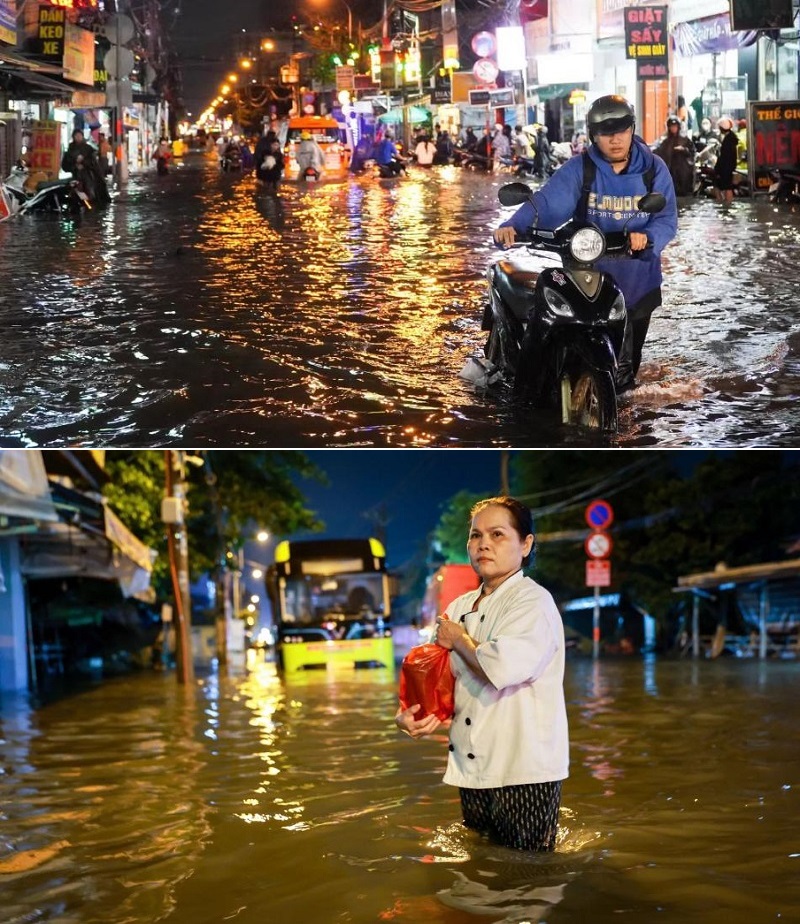
- Binh Thanh District: Binh Quoi Street (Thanh Da peninsula) and Ngo Tat To Street suffer severe flooding due to the combination of heavy rain and high tides from the Saigon River.
- Binh Tan District: Ho Hoc Lam Street (the section connecting to National Highway 1) has long been considered a chronic “black spot” for prolonged flooding.
3. Thu Duc (former) area – Thao Dien, Thu Duc Market, and National Highway 13 corridor
Thu Duc has riverside terrain and many low-lying spots. When heavy rain lasts long, the following locations are often isolated:
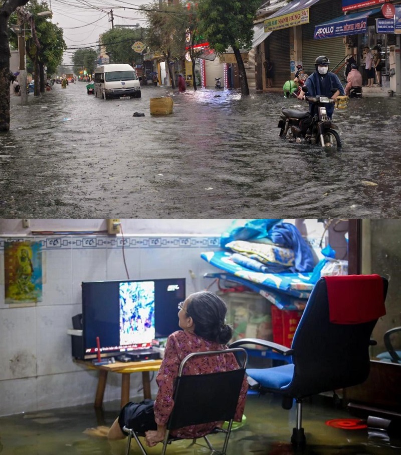
- Thao Dien Ward: Thao Dien, Quoc Huong, and Nguyen Van Huong streets are familiar flood-prone spots.
- Thu Duc Market area: Duong Van Cam, Dang Thi Ranh, and Le Van Ninh streets regularly experience deep flooding as water from higher areas drains into the basin.
- Major traffic arteries: National Highway 13 and Nguyen Duy Trinh Street record widespread water pooling during peak hours, causing serious traffic congestion.
4. District 7 and Nha Be (former) areas – Flooding mainly caused by high tides
Unlike Go Vap, which floods mainly due to rain, the southern Saigon area is heavily affected by high tides from the Saigon River and Soai Rap River:
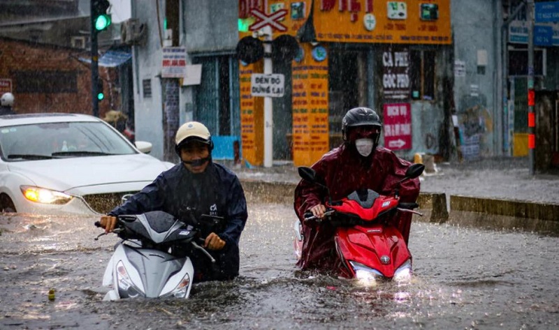
- District 7: Tran Xuan Soan Street (section along Te Canal) and Huynh Tan Phat Street are the two biggest tidal flooding hotspots. Water often overflows the banks in the early morning or evening according to the lunar full-moon and new-moon cycles.
- Nha Be: Le Van Luong Street (sections near the old Rach Tom Bridge and Long Kien Bridge) floods 30–50 cm deep whenever peak tides occur.
City Plans and Tips for Safe Travel During the Rainy Season
To proactively respond to flooding, Ho Chi Minh City has deployed a series of strategic solutions. At the same time, mastering safe travel practices during the rainy season helps you avoid risks on every route.
Flood control plan for the 2026–2030 period
The Ho Chi Minh City Department of Construction has reviewed approximately 50 severely flooded locations citywide. To resolve the problem thoroughly, the city is shifting its strategy from “treating individual spots” to “basin-based flood control” for greater sustainability.
In 2026 alone, the city prioritizes resources to address 3 key flooding points through 9 projects with a total investment of approximately 7,150 billion VND (including the Phan Van Hon corridor, Binh Quoi Street area, and the National Highway 51 – Huynh Thuc Khang intersection). The remaining locations and dozens of other localized flood points have been included in the 2026–2030 treatment roadmap.
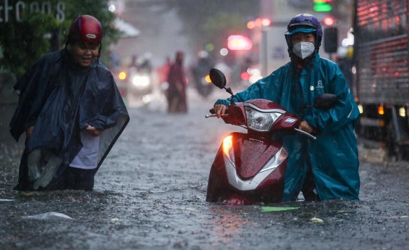
Tips for safe travel through flooded roads in Ho Chi Minh City
To avoid vehicle damage or flooding-related risks, residents should apply the following advice:
- Check flood points via traffic apps:
- UDI Maps app: Developed by Ho Chi Minh City Urban Drainage One-Member Limited Company, it provides real-time updates on rain locations, flood points, and suggested alternative routes.
- TTGT TPHCM app: Monitor the online traffic camera system to assess the actual situation before traveling.
- Vehicle control techniques in floodwater:
- Motorbikes: Maintain steady throttle in low gear (1st or 2nd gear for manual transmissions); avoid suddenly releasing the throttle to prevent water from being sucked back into the exhaust pipe.
- Cars: Turn off the air-conditioning (AC), drive slowly and steadily, keep a safe distance from the vehicle ahead, and avoid sudden braking.
- Do not drive close to the roadside: The roadside is where manholes and drainage ditches are concentrated. In deep water, strong currents can dislodge manhole covers, posing serious danger to road users.
Knowing the list of flooded roads in Ho Chi Minh City helps you proactively choose reasonable routes, avoid congestion, and protect your vehicle during the rainy season. Always check weather forecasts and urban traffic news, and update flood-checking apps before going out so that your daily journeys remain as safe and convenient as possible.